Bay of Bengal Cyclone Threatens Tamil Nadu: IMD’s New District Warnings Change Evacuation Calculus for 3.2 Million
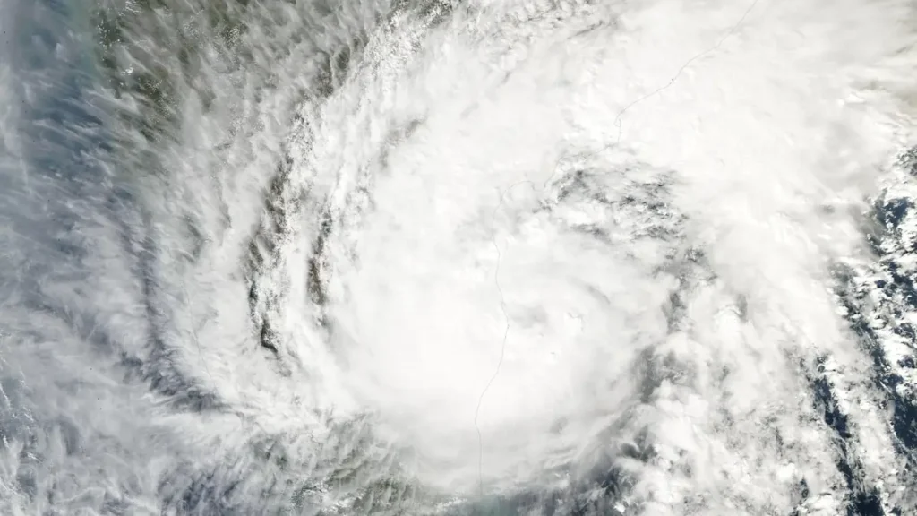
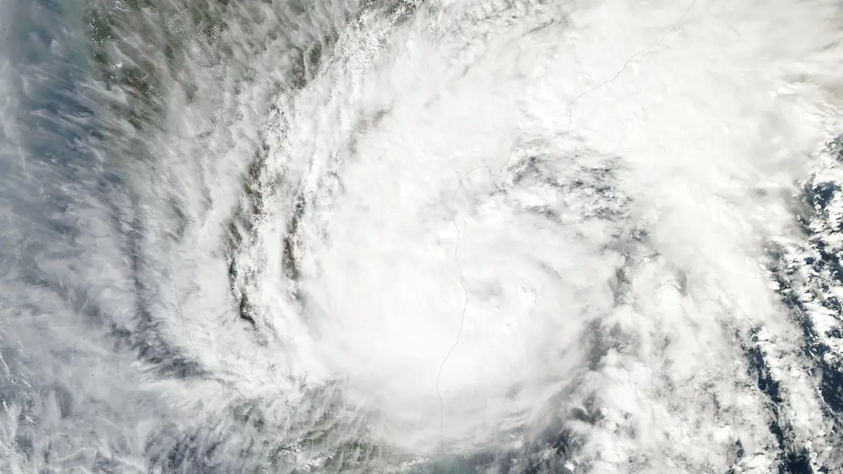
The depression in the Bay of Bengal does not care about district boundaries. But for the first time, the India Meteorological Department does. As the system races toward severe cyclonic storm status — expected by November 16 with landfall near Karaikal-Chennai corridor early November 17 — IMD’s new impact-based forecasting pilot is telling 3.2 million coastal residents not just how much rain will fall, but which specific neighborhoods will flood, which roads will become impassable, and which evacuation centers are nearest. The difference from Cyclone Michaung in December 2023 is not the storm. It is the warning, reported The Hindu.
The depression, currently centered about 600 kilometers southeast of Chennai, is tracking west-northwest at 12 kmph. IMD Director General Mrutyunjay Mohapatra confirmed it will intensify into a deep depression by November 15 afternoon and a severe cyclonic storm by November 16, with sustained winds of 90-100 kmph gusting to 110 kmph at landfall. Storm surge of 1-1.5 meters above astronomical tide is forecast for Nagapattinam, Karaikal, and coastal Cuddalore districts. Seven districts — Chennai, Chengalpattu, Kancheepuram, Villupuram, Cuddalore, Nagapattinam, and Karaikal — fall in the highest-impact zone. The samba rice harvest across 15 lakh hectares stands directly in the path.
What Michaung 2023 Taught Us (And What’s Different Now)
Cyclone Michaung dropped 40 centimeters of rain on Chennai in 24 hours. Twenty-two people died. Power was out for two weeks in parts of Chengalpattu and Kancheepuram. The 2023 warning said “heavy to very heavy rainfall” for “Chennai and surrounding districts” — a phrase so broad that evacuation orders came too late for low-lying neighborhoods in Tambaram and Pallavaram. This time, IMD’s impact-based forecasting pilot, developed after Michaung’s lessons, maps rainfall intensity to specific ward-level flood inundation models. The November 15 bulletin names Tambaram, Pallavaram, Alandur, and Manali as “very high risk” for flooding above 1 meter — not just “Chennai district.” Tamil Nadu’s Revenue Department has pre-positioned 5,000+ evacuation centers, with capacity for 8 lakh people, and district collectors have authority to order neighborhood-level evacuations without waiting for state-level directives.
Crop losses could exceed Michaung’s 5,000 crore rupees. The samba rice harvest — Tamil Nadu’s primary food security crop — covers 15 lakh hectares in the delta districts. A 2023 study in Nature Climate Change found Bay of Bengal cyclones are intensifying 30% faster than in 2000 due to 0.8°C ocean warming. Rapid intensification events, where a depression becomes a severe storm in under 36 hours, have doubled. Insurance penetration in coastal India districts remains below 15%, meaning most agricultural and property losses will be uninsured.
Power restoration is the hidden timeline. Michaung snapped 4,000+ transformers and 12,000 km of distribution lines. TANGEDCO has pre-staged 2,000 repair crews and 500 transformers at forward depots in Cuddalore and Nagapattinam — a direct Michaung lesson. But if storm surge breaches the 1.5-meter threshold at Nagapattinam, substation flooding could add weeks to restoration.
IMD’s impact-based forecasting pilot marks the first time district-level actionable warnings — not just weather alerts — are being issued in real-time for a Bay of Bengal system. The November 15 bulletin is the test of whether neighborhood-specific flood maps translate to faster evacuations.
Which Districts Will Be Most Affected?
IMD’s impact-based forecast identifies Chennai, Chengalpattu, Kancheepuram, Villupuram, Cuddalore, Nagapattinam, and Karaikal as highest risk for storm surge (1-1.5m), wind damage (90-110 kmph), and extreme rainfall (>20cm). These seven districts contain 3.2 million residents and 15 lakh hectares of standing samba rice crop. Evacuation centers: 5,000+ identified by Tamil Nadu Revenue Department.
The next IMD bulletin at 14:30 IST November 16 will update the landfall window. The decision window for coastal residents closes by November 16 afternoon — evacuate then, or shelter through landfall.