Thanksgiving Travel Weather Forecast: Severe Storms Threaten Millions of US Trips
Millions of holiday travellers face severe weather disruptions across the United States this week. Severe storms threaten both coasts with heavy rain, urban flooding, gusty winds and mountain snow. The incoming weather systems arrive during one of the busiest travel periods of the year. Forecasters urge motorists and airline passengers to prepare for possible schedule changes. Heavy weather could disrupt holiday plans from California to Massachusetts.
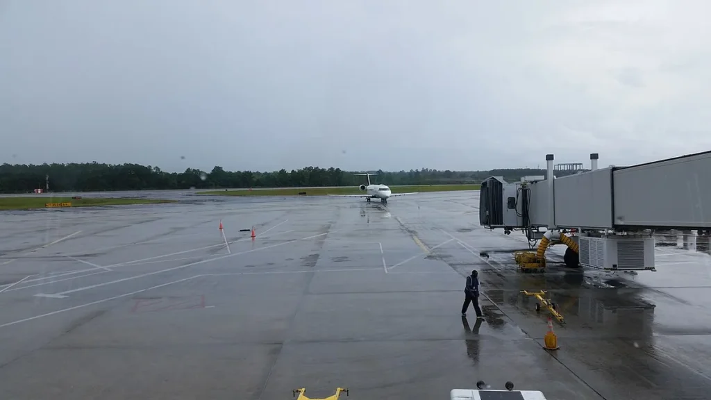
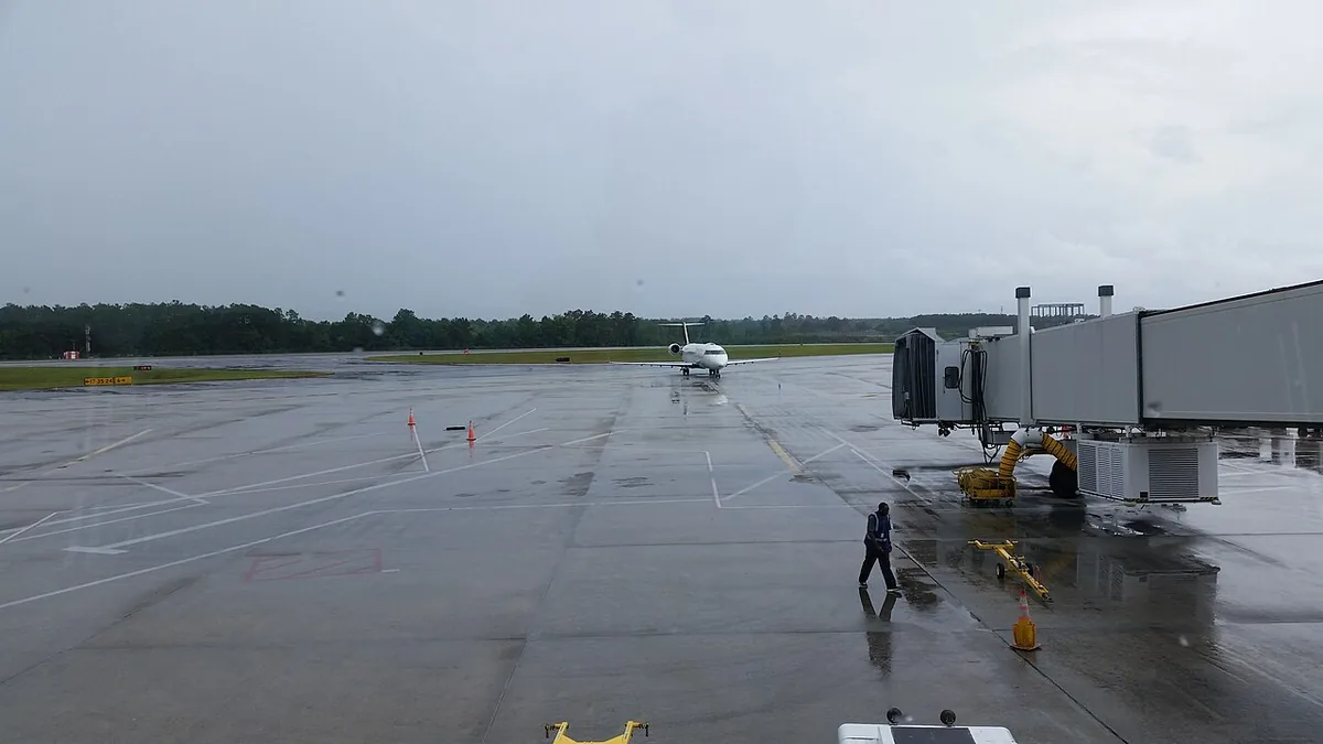
The Thanksgiving travel weather outlook comes as AAA projects 81.5 million people will travel at least 50 miles from home. A stormy pattern will impact both the East Coast and the West Coast through the holiday and the following weekend. Along the East Coast, a tropical wind and rainstorm strikes southern states through Saturday night. It then moves into the Northeast on Sunday and Monday. Coastal areas face soaking rain, urban flooding and gusty winds. Flight delays are possible around New York City and Boston on Monday, with some cancellations also possible. Florida has already absorbed historic rainfall. Melbourne recorded 22.59 inches through 19 November, establishing its wettest single month since 1937.
For holiday travellers, departure dates matter much more than departure cities. The highest risks emerge Sunday and Monday along the East Coast. A second difficult window spans Monday night through Wednesday across the Pacific Northwest. Monday stands out as the calmest day to travel nationwide. Passengers should build extra buffer time into itineraries and check airline schedules frequently. Motorists heading into mountain regions should pack emergency supplies and expect prolonged roadway delays.
Coastal Systems and Holiday Travel Timing
Florida continues to grapple with extreme moisture before the northern storm arrives. Melbourne surpassed its prior November record of 9.72 inches, set in 1963, by almost 13 inches. The city also logged its wettest autumn on record with 42.54 inches between September and November. Flooding and road closures persist along the St. Johns River watershed through the weekend. Offshore, the system had potential to draw energy from the warm Gulf Stream. The National Hurricane Center initially assigned a 60 percent chance of tropical formation over seven days. Forecasters noted the system would take the name Kyle if winds reached 40 miles per hour with organized thunderstorms. However, development chances diminished as the disturbance moved into unfavourable atmospheric conditions. National Weather Service meteorologist Andrew Loconto in Norton, Massachusetts, and Dan Hoffman in Baltimore are tracking the coastal impacts.
On the West Coast, severe conditions threaten major transit corridors starting early in the week. A potent Pacific storm arrives in the Northwest on Monday night, continuing through Wednesday. The system taps into an atmospheric river, which acts as a long band of concentrated atmospheric moisture. Forecasters project two to four inches of precipitation across northern California and southern Oregon through Wednesday. Heavy rain at lower elevations, gusty winds and mountain snow threaten Interstate 5 between Seattle and San Francisco. Mountain passes along Interstate 80 and potentially Interstate 90 face hazardous driving conditions. These hazards follow snowstorms that dumped several feet of snow across California and Nevada on 18 and 19 November. That early snowfall caused major problems near Donner Pass.
Coastal regions around San Francisco face combined water hazards. The National Weather Service issued coastal flood advisories across the San Francisco Bay Area due to unusually high king tides. San Francisco Mayor Daniel Lurie urged residents to avoid nonessential travel from Monday afternoon through Wednesday. Weather specialists are also monitoring conditions in major hubs including Chicago, St Louis, Raleigh, Philadelphia and Washington DC.
Travellers asking about the general Thanksgiving weather forecast will encounter an active coast-to-coast pattern with distinct regional phases. Monday provides the quietest nationwide travel window during the entire holiday week. Weather conditions deteriorate on Tuesday as a storm develops in the Southeast overnight and rain spreads into the Pacific Northwest. By Wednesday, rainfall spreads across the mid-Atlantic alongside wind, while a second, stronger storm strikes northern California, Oregon and Washington. The eastern system could strengthen into a major storm on Thanksgiving Day. It may bring rain and wind to the Northeast alongside wet snow in the Appalachians. Leftover rain could linger across New England on Friday. Another storm could develop in the East during the following weekend, while the West Coast remains active.
Holiday travellers should prepare for unstable conditions across multiple regions this Thanksgiving season. The combination of coastal downpours, mountain snow and strong winds will challenge airline schedules and highway transit. Monday offers the smoothest window for long-distance departures before back-to-back systems hit both coastlines. Checking local route updates and flight statuses remains essential as 81.5 million Americans head toward their holiday destinations.